Bangkok Flooding: Views from Rama IV Bridge

The good news on the flooding situation in northern Bangkok is that as of this afternoon, October 22, the floodwaters have been isolated to some streets on the eastern side of the river in the more urban areas of Nonthaburi Province. The same cannot be said of the western side, where Bang Bua Thong district in Nonthaburi on the outskirts of Bangkok sustained severe flooding. The situation seems to be worsening, albeit not as quickly as expected.

Today, we flew over the flooded areas north of Bangkok on our way to Chiang Rai, where we are now waiting out the floods. The bad news is that the area covered in water is absolutely huge! We flew at least 15 minutes over areas submerged in water; farmland, highways, and towns alike. Most of the water has no place to go except south toward Bangkok. Based on my own observations, I think the city is in for a sustained deluge rather than a quick dousing. Who knows how long this will last.

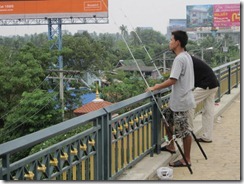
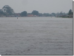
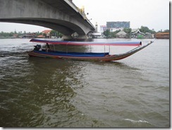
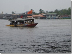
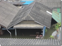
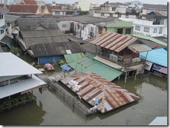
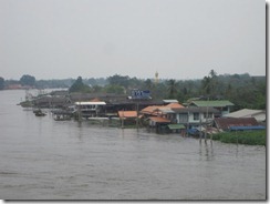
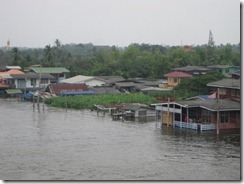
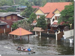
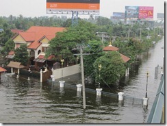
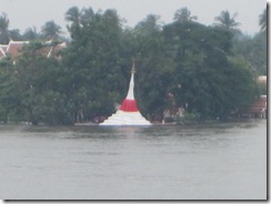
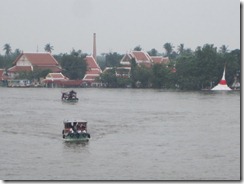
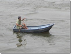
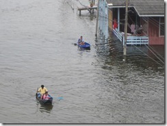
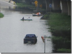
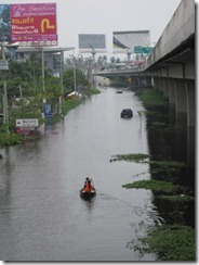
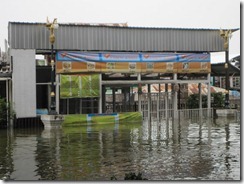
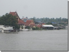
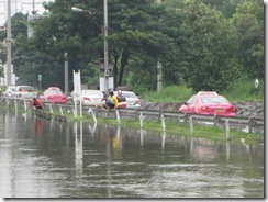
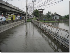
These photos were taken around noon on October 20 at the Rama IV Bridge in Nonthaburi. The river is bloated, and water levels are high. I imagine they’re even higher today, although I cannot confirm it.

2011_10_20 Bangkok Floods (4)

2011_10_20 Bangkok Floods (2)

2011_10_20 Bangkok Floods (3)

2011_10_20 Bangkok Floods (5)

2011_10_20 Bangkok Floods (6)

2011_10_20 Bangkok Floods (7)

2011_10_20 Bangkok Floods (9)

2011_10_20 Bangkok Floods (10)

2011_10_20 Bangkok Floods (11)

Koh Kred Island is even more flooded than when we visited in September.

2011_10_20 Bangkok Floods (15)

2011_10_20 Bangkok Floods (16)

Boats are a more effective means of transportation than automobiles in some parts of the city.

2011_10_20 Bangkok Floods (8)

2011_10_20 Bangkok Floods (12)

2011_10_20 Bangkok Floods (13)

2011_10_20 Bangkok Floods (14)

And the fishing just keeps getting better and better.

2011_10_20 Bangkok Floods

Bangkok Flooding: Rama IV Market Photos

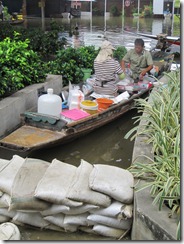
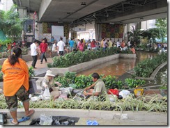
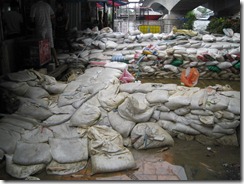
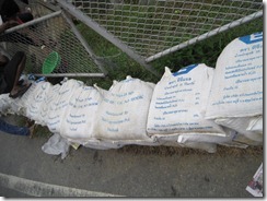
Several of us visited the banks of the Chao Phraya River on October 20 to observe the water levels and assess the flood risk. While the markets under the Rama IV Bridge were (still) open, the floodwaters were lapping against the top steps of the ferry launch, and the river was surging. A broken barrier or rising water levels are all it would take to flood these areas.

Here are photos from the market below Rama IV Bridge on the east side of the river:

2011_10_20 Flooded Market (7)

2011_10_20 Flooded Market (2)

2011_10_20 Flooded Market (3)

2011_10_20 Flooded Market (4)

2011_10_20 Flooded Market (11)

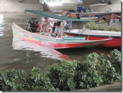
The ferry that crosses the river was still operating, but who knows for how long.

2011_10_20 Flooded Market (8)

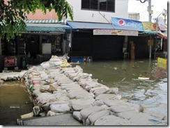
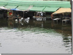
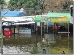
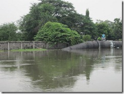
The market under Rama IV Bridge on the west side of the river wasn’t so fortunate.  It was soaked by a meter of standing water.
2011_10_20 Flooded Market (9)

2011_10_20 Flooded Market (10)

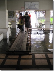
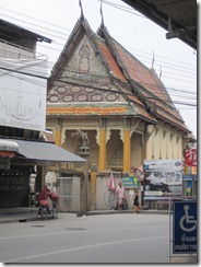
Wat Samanau (Samanau Temple) still dry…for now.

2011_10_20 Flooded Market (13)

2011_10_20 Flooded Market

2011_10_20 Flooded Market (12)

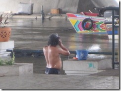
There’s always a silver lining in every cloud…it’s easy to find a place to take a bath. Don’t worry if people are taking photos of you or the water’s contaminated. Take a bath while the sun shines!

2011_10_20 Flooded Market (5)

Or, start a floating restaurant! When the going gets rough, just move on to better waters.

2011_10_20 Flooded Market (6)

Bangkok Flooding: Khlong Prapa Canal Breached

The Bangkok Post reported today that floodwater breached a barrier at Khlong Luang (Luang Canal) and swept into Khlong Prapa (Waterworks Canal). What that means in plain English is that the floodwater is now flowing into one of the main canals that flows through Bangkok proper, so the water has breached the city’s outer defenses. It’s akin to barbarians battering the castle gate after they cross the moat.

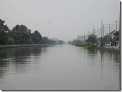
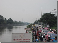
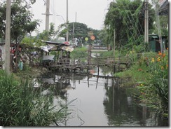
Below are photos I took yesterday about noon at Khlong Prapa near Chaengwatthana Road. The water has reportedly risen at least 1.5 meters since then and covered the road. The news reported standing water on Chaengwatthana Road as of this morning, and central Nonthaburi on the northern outskirts of Bangkok is at risk of up to several more meters of flooding. If and when that happens, the rest of Bangkok will be vulnerable.

 2011_10_20 Swollen Canal (7)

2011_10_20 Swollen Canal (3)

2011_10_20 Swollen Canal (6)

Although the blame game has started with critics pointing fingers at those they believe could have done a better job of controlling the situation, water will go where it wants to go. It wants to go to the sea, Bangkok stands in the way. The government has tried to stem the flow east and west of the city with mixed results; now the flooding is almost everywhere. I’m of the opinion that the flooding of Khlong Prapa was bound to happen sooner or later. The sooner it flows through, the sooner the water will dissipate.
2011_10_20 Swollen Canal (2)

2011_10_20 Swollen Canal (4)

2011_10_20 Swollen Canal (5)

I’ve been told that it could take a while for the water to disappear. I hope not! If there’s standing water on a prolonged basis, none of us will be able to return home anytime soon. I ran into several of my neighbors today in “exile,” and we’re all in the same boat (pun intentional). We’re essentially Internally Displaced Persons (IDPs) at the moment.
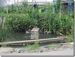
There are some positive outcomes from this situation. The swollen waterways are eerily beautiful.

2011_10_20 Swollen Canal

The flora and fauna are getting plenty of water.

2011_10_20 Swollen Canal (8)

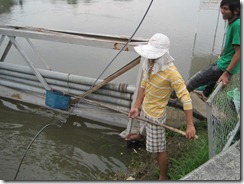
And it’s getting easier to catch fish.

2011_10_20 Swollen Canal (9)